
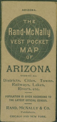
The Rand-McNally Vest Pocket Map of Arizona Showing All Districts, Cities, Towns, Railways, Lakes, Rivers, etc.
Rand, McNally & Co., 1909. Trade Paperback. Map 12.25 X 19 inches on sheet 13.75 x 21.25 inches. Printed in yellow, pink, green, red, black and orange on white. Railroads identified by number in red. Very good copy in brown thick paper wrappers (paperback). Map has been folded to fit.....