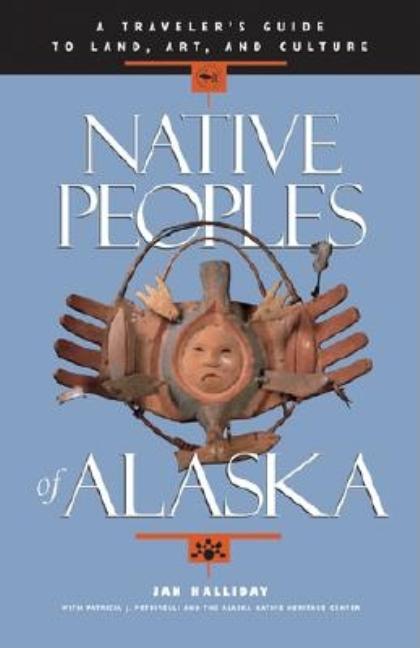
Native Peoples of Alaska: A Traveler's Guide to Land, Art, and Culture
Sasquatch Books, April 1998. Trade Paperback. Very good in wrappers (paperback).

Sasquatch Books, April 1998. Trade Paperback. Very good in wrappers (paperback).
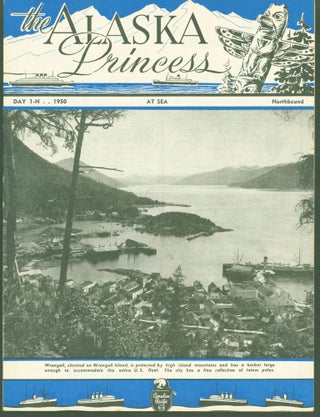
Alaska Princess, 1950. First Edition. Trade Paperback. 12 pages. Pamphlet, 9 x 11.75 inches, was distributed 'free to passengers' aboard the Alaska Princess cruise ship between Seattle and Skagway. B/W illustrations. Numerous ads for Alaskan businesses. First edition (first printing). A near fine copy in illustrated wrappers (paperback). Cover illustration.....

U.S. Geological Survey, 1899. Print. Map with border, 8.25 x 5.25 inches, on sheet 11.25 x 7.5 inches. First edition (first printing). A very good copy. Map has been removed from larger work. Upper sheet margin has chips and there is a small chip at right edge. Paper is tanned.....
U. S. Coast and Geodetic Survey, 1884. First Edition. Map. 'Sketch compiled from the latest and best surveys and results of the U.S. Coast & Geodetic Survey, since 1868' 23 x 34.5 inches. First edition (first printing). Good copy. Map is very fragile with tears along fold and at corners.....
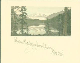
Elmer Reed, n.d., ca. late 1930s. Photograph. Photographic Christmas card, tinted color. Card, oblong format 5 x 4 inches, photograph with lake scene with snow-capped mountain in background, 3.75 x 2 inches. Elmer Reed came to Alaska in 1950 and worked for the government. Photography was his hobby, photographing Alaskan.....
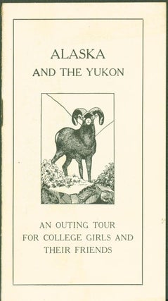
George Burbank Shattuck, 1916. First Edition. Trade Paperback. 23 pages. Brochure describes the planned trip (July 5-August 20) with itinerary, lectures, cost, personal equipment needed with 2 full-page photographs of the 'style of outing suit' and 'style of Raincoat' recommended. George Burbank Shattuck (1868-1934) was a geologist who was a......
U. S. Coast Survey, 1874. First Edition. Map. U.S. Coast Survey map, Explorations in Alaska, No. 23. Map size, 30 x 11.25 inches withion borders; sheet size, 32.5 x 14 inches. Place names and heights are identified. Map is dated 1874, published later, ca. 1895. First edition (first printing). Very.....
U.S. Coast and Geodetic Survey, 1881. First Edition. Map. U. S. Coast and Geodetic Survey map to Accompany Report on Education in Alaska. Map is dated 1881 but published later, ca. 1895. Map size, oblong format 17.8 x 14.75 inches within border; on sheet 19x 16.75 inches. Place names identified.....
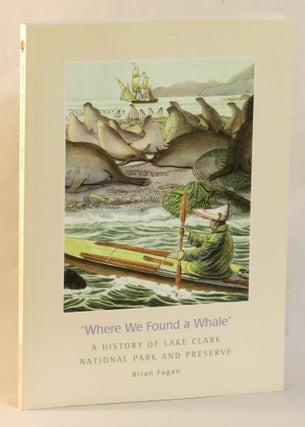
National Park Service, 2008. First Edition. Hardcover. 127 pages. Many color illustrations. 11 X 8 inches. First edition (first printing). A near fine copy in illustrated wrappers (paperback).
American Anthropological Association, (1972). Trade Paperback.
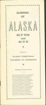
Alaska Territorial Chamber of Commerce, 1938. Pamphlet. 111 pages. 3-3/4 by 8-3/4 inches. A promotional brochure jointly issued by 15 city chambers of commerce. Near fine. Second edition? There was a 1937 edition, too.

Great Northern, (n.d. but late 1930s). Pamphlet. 20 pages. 8 by 9 inches. Promotional brochure encouraging travel from the midwest, through Glacier National Park, ending in Seattle or Vancouver, with a connecting cruise excursion to Alaska. Nicely illustrated with photographs. Fine in wrappers.